Making of the map
The World Map Project is a popular thing for PCVs to do when they feel like getting out of the classroom or office. In some countries in Latin America, it’s a requirement to do this early in one’s service because it’s a way to connect with the youth in the community. I had wanted to do that, but instead I did it right before I left. Whoops.
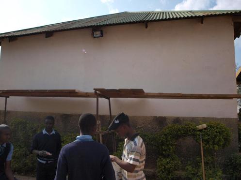
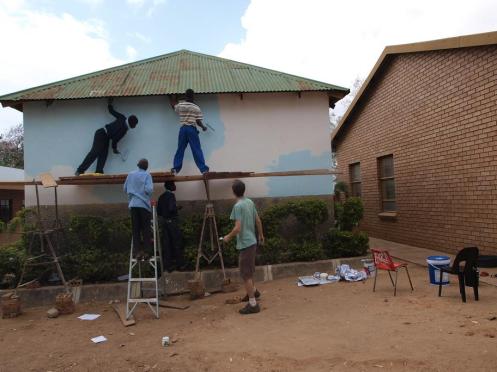
One reason for the delay is that I had chosen an inconvenient wall to paint. Despite being on the oldest building of the school, it was still in good shape, and I liked that it was well-framed and visible from the road. It was too high to reach, though, and the hedges meant that one couldn’t just reach it by climbing on a table.
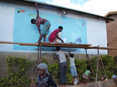
The solution was to borrow some scaffolds from one of the families. (I think there’s a better word for these things, but they call them scaffolds here and I’ve forgotten what else to call them.) The school had some old planks and an unused door, so by propping those up on the scaffolds, we could have a platform to reach the wall. The first thing we did was scrape the old paint off the wall. I bought some scrapers for this but I also used some random stuff lying around to make it go faster.
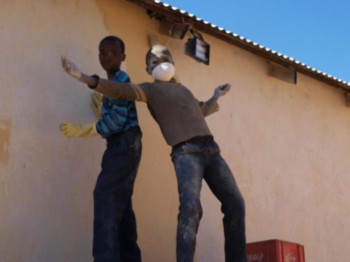
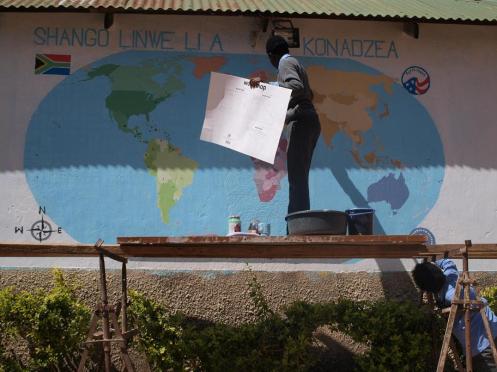
After that, we applied a coat of primer so hopefully it will last longer. Then we mixed the blue paint for the water. All I had was a 20-liter bucket of white paint. All the 25 or so colors I used on the map were that paint mixed with various amounts of stainer.
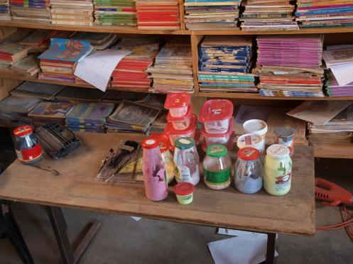
One problem I encountered during production was that I didn’t have enough containers to mix the paint. I was using all the extra peanut butter jars and yogurt cups I had at home, but it wasn’t enough. I would tell learners that I needed more jars, and that was met with the question, “What is a jars?” Eventually one of the teachers bought some containers for me to use. While I was painting, some girls came to the map gushing over how pretty it was, but they were really just admiring the container I was using.
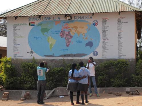
The instructions for the map have a suggested list of countries and colors, but I didn’t use that because I wanted to show the continents as well. The people here aren’t very good at geography, and even the ones I consider educated don’t really understand what continent I’m from.
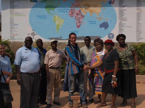
Once it was finished, the only thing left to do was admire it and use it for photo ops for my going away parties.
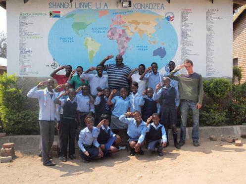
Those kids look kid doing the Scout salute 🙂
They are. That’s my Scout Troop and the principal.
That’s so neat!!! I love all the photos that you shared!!!